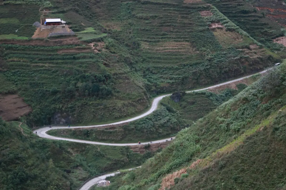
The Ha Giang Loop on the map
Most Ha Giang Loop maps show the same line: Ha Giang City, Quan Ba (Quản Bạ), Yen Minh (Yên Minh), Dong Van (Đồng Văn), the Ma Pi Leng Pass, Meo Vac (Mèo Vạc), Du Gia (Du Già) and back to Ha Giang City. Lung Cu (Lũng Cú) is a side trip to the north. There is no single fixed route, so two maps can differ in the southern part.
Distances below are approximate and give ride time without stops. If you would rather not navigate, compare Ha Giang Loop tours or ride pillion with an easy rider.
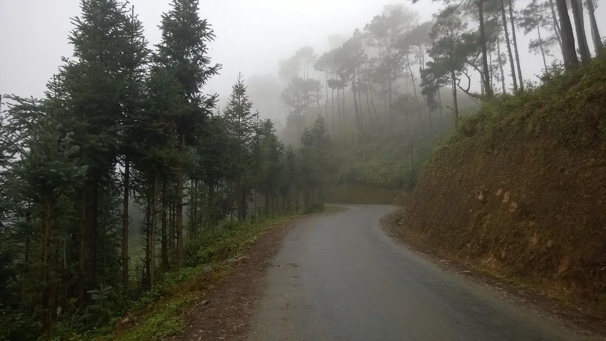
Route stages with distances and ride times
Approximate values for 2026, ride time only.
| Stage | Distance | Ride time |
|---|---|---|
| Ha Giang City to Quan Ba | 45 km | 1.5 hours |
| Quan Ba to Yen Minh | 50 km | 1.5–2 hours |
| Yen Minh to Dong Van | 50 km | 2 hours |
| Dong Van to Lung Cu (one way) | 25 km | 1 hour |
| Dong Van to Meo Vac over Ma Pi Leng | 22 km | 1 hour |
| Meo Vac to Du Gia | 75 km | 3 hours |
| Du Gia to Ha Giang City | 80 km | 2.5–3 hours |
The base stages add up to about 320 km. Totals for the whole loop run from 340 to 380 km because routes and counting differ. Treat any single number as a guide, not a measured length. For a day-by-day split, see the Ha Giang Loop itinerary.
For most first-time visitors, the stages from Dong Van to Meo Vac are the heart of the loop and the part to plan around. The southern return from Meo Vac to Du Gia is long: 75 km take about 3 hours before any stops.
Our pick: a tour along the loop
This 4-day tour follows the loop through Quan Ba, Lung Cu, Dong Van, Ma Pi Leng and Meo Vac.
Hand-picked tours, booked through GetYourGuide. Prices are indicative starting prices in US dollars (as of October 2026). Tap a tour for live availability and the current price in your currency.
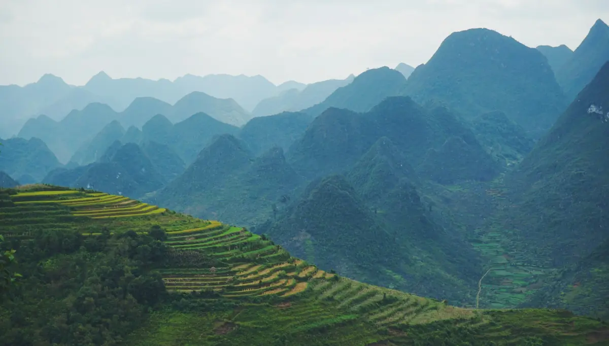
Ha Giang Loop tours
Easy rider, jeep and car tours around the loop, with live prices and availability.
Ha Giang Loop route: stop by stop
What each stage on the map offers.
Quan Ba
The first stop after Ha Giang City. The Heaven Gate and the twin mountains lie here, and the road continues over the Heaven Gate toward Yen Minh. Visibility changes with the weather.
Quan Ba guide →Yen Minh
A common overnight stop on the way north. Pine forest grows around Na Khe, Lao Va Chai and Bach Dich at roughly 1,000 to 1,300 m.
Dong Van
The old quarter and the Sunday market are here. The Vuong family palace stands in Sa Phin (Sà Phìn), a short ride from town.
Dong Van guide →Lung Cu
The flag tower sits at about 1,470 m. The northernmost point of Vietnam is a different place, about 2 km away, and not the tower.
Lung Cu guide →Ma Pi Leng Pass
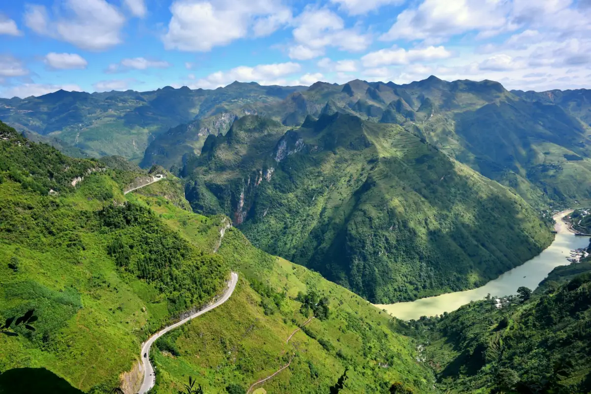
About 20 km of national road QL4C between Dong Van and Meo Vac, above 1,200 m, with the Nho Que (Nho Quế) river far below.
Ma Pi Leng Pass guide →Meo Vac and Du Gia
Meo Vac has its own Sunday market. Du Gia is a common overnight stop on the southern return, with a waterfall in the commune of Du Gia.
Meo Vac and Du Gia guide →Road conditions and variants
Why maps and real rides differ.
Surface
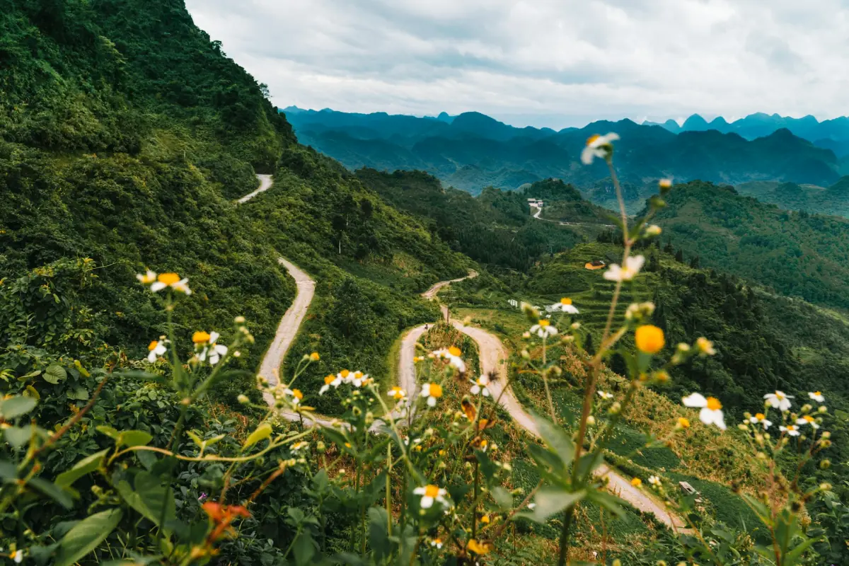
Most of the loop is asphalt. Between Meo Vac and Du Gia the road is narrow and partly damaged, with gravel and potholes. Ask locally about the current state before you start that stage.
Rain and landslides
In the rainy months landslides have affected the road near Lung Tam (Lùng Tám). Fog and changing weather can slow every stage, so keep a time buffer.
A second return route
Some routes return over national road QL4C to Bao Lam and then along QL34 through Bac Me (Bắc Mê) instead of the Du Gia variant. Do not mix the two when you read distances on a map.
The closed rock ledge
Since 1 July 2026 the rock ledge known as Mom da song ao (Mỏm đá sống ảo) at Ma Pi Leng village is closed until further notice. The closure covers that ledge, not the whole pass road. Do not plan the ledge as a stop.
More on the loop
Pages that pair with the route map.
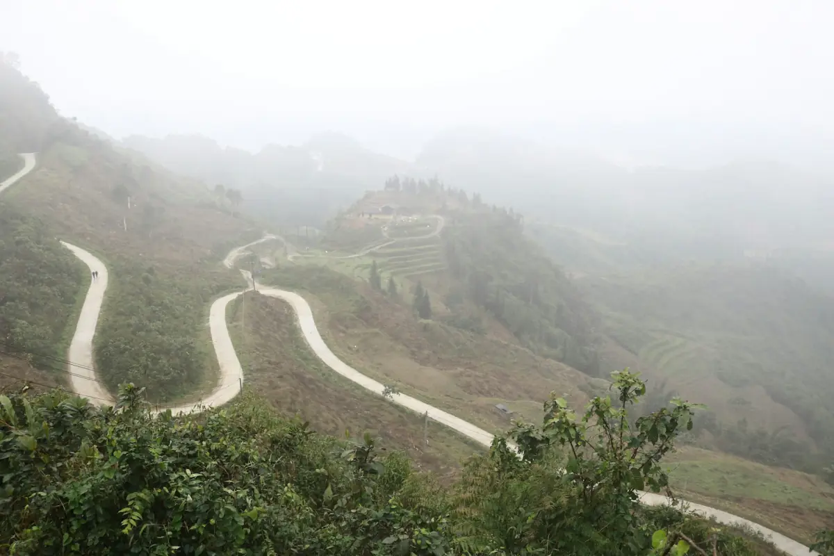
Ha Giang Loop map: frequently asked questions
How long is the Ha Giang Loop?
The base loop is about 340 to 380 km. With side trips such as Lung Cu it grows to roughly 450 to 500 km. The base stages add up to about 12 hours of riding without stops, spread over three or four days.
Which direction should I ride the loop?
The stages above run from Ha Giang City through Quan Ba, Yen Minh and Dong Van to Meo Vac and back via Du Gia. Many tours follow this order, but you can plan it differently.
Is there one fixed loop route?
No. The usual line goes through Du Gia on the way back, and a second return route runs through Bao Lam on QL34. Check which one a tour or map uses.
Can I ride the loop myself?
Only with a valid licence for Vietnam that covers motorbikes. A car licence alone does not cover a motorbike. Read the rules on the self-riding page, or ride pillion with an easy rider, who is the driver.
Is the loop open all year?
Rain, fog and landslides can close or slow sections, and May to September is the wetter part of the year. Check conditions on the day.
Can I add Lung Cu to the loop?
Yes. From Dong Van it is 25 km one way, about 1 hour of riding. Plan roughly 3 extra hours for the detour, which is why many travellers choose 4 days.